Sale on canvas prints! Use code ABCXYZ at checkout for a special discount!

Previous Image

|

Next Image
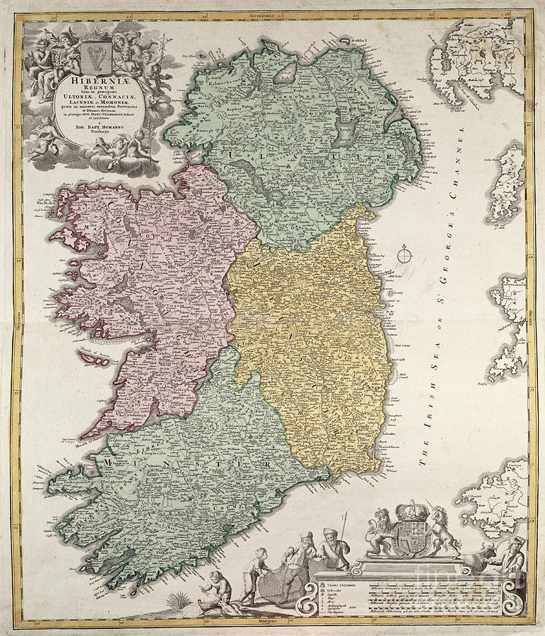
Antique Map of Ireland showing the Provinces Drawing by Johann Baptist Homann

Similar Images

Irish Free State and Northern Ireland from Bacon s Excelsior Atlas of the World by English School
Map depicting plantations on the Mississippi River from Natchez to New Orleans by American School
Map of the Battle of Trafalgar by Alexander Keith Johnson
The Milkmaid by Jan Vermeer
Map of the Old Oregon Trail by American School
Map showing the localities of the Indian tribes of the US in 1833 by Thomas L McKenney and James Hall
The Artist's Studio by Jan Vermeer
A map of the Nurburgring Circuit by German School
Map of the Caribbean islands and the American state of Florida  by Theodore de Bry
Vintage Map of the West Indies Florida and South America by English School
Antique Map of Africa by Dutch School
Map of Ireland by C Montague
Antique Map of Italy by Guillaume Raynal
Antique Map of Cuba by Guillaume Raynal
Map of India by Alexander Keith Johnson
Map showing the routes of the Trail of Tears by American School
Map of the Battle of Waterloo by English School
The Geographer by Vermeer by Jan Vermeer
Map of the Constellations of the Northern Hemisphere by Andreas Cellarius

Comments (1)

Donna Felton

Donna Felton

Nice image.

Recently Viewed

Antique Map of Ireland showing the Provinces by Johann Baptist Homann
Previous Image Next Image